Case Study
Science to improve resilience practice
09/10/2026
As reported in FY24/25, the Leveraging Historic Floods team has developed a database of historic flood event models and inundation maps, and examined what these events would have looked like under different future climates.
The work has led to the development of a hydrodynamics flood forecasting framework, which can be used to forecast and map the extent of hazards before an event, and during emergency response.
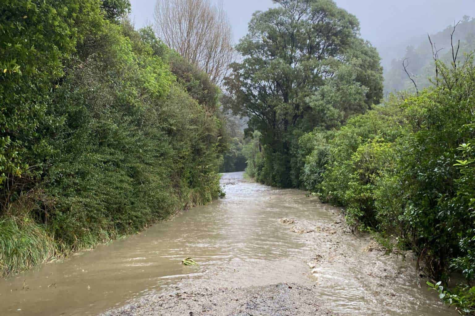
The workflow was demonstrated in post-event modelling of the flooding events in Nelson-Tasman in late July 2025, to generate preliminary estimates of flooding extent and depth and support post-event reconnaissance. The team first attempted to forecast flood extent during the March 2026 Northland rainfall event, and consider this an encouraging proof of concept.
The toolkit is to be hosted at Earth Sciences NZ, and discussions are continuing about how to further improve it. The research has been shared at the National Lifelines Forum, and results have also been shared with NEMA, and some regional councils.
In the top of the South Island, researcher Lorraine Eade has conducted interviews to collate tangata whenua perceptions and experiences of risk reduction, emergency management, recovery and resilience. The Ngā Kōrero Parekura project seeks to identify how the ‘4Rs’ framework and emergency management practices can better reflect Te Ao Māori values and knowledge.
The findings have influenced a review of the Te Tauihu o Te Waka a Māui Emergency Management Strategy, developed by Te Kotahi o Te Tauihu Charitable Trust, and have also been presented to emergency management staff in Marlborough and Nelson-Tasman, and included in training workshops.
The Integrating Indigenous Knowledge project advances a distinctly Māori-led, place-based approach to hazard resilience, weaving mātauranga Māori, te reo, tikanga and community governance into preparedness, adaptation, and cultural heritage protection. Researchers are working alongside marae communities in the Bay of Plenty and Te Urewera, particularly Maungapōhatu and Pūtauaki, and collaborating with Earth Sciences NZ colleagues on digital maps to support the preservation and restoration of wāhi tapu sites.
Emerging knowledge is strengthening community decision-making while informing engagement with the Bay of Plenty Regional Council Toi Moana and Whakatāne District Council on climate risk, cultural heritage, and wāhi tapu protection. Relationships and new knowledge developed through this project have also supported Ngāti Ngahere’s Waitangi Tribunal claim at Te Rere marae, Ōpōtiki.
The Retaining capability in volcano monitoring project has supported volcanic geophysicist Dr Finn Illsley-Kemp to contribute to a range of volcanic monitoring research. Finn has been involved in the development of a science – CDEM sector interoperability plan that is being included in the 2026 revision of the Auckland Volcanic Field Response Plan. Through this process, Finn has been able to communicate to the CDEM sector what can and what can’t be determined through interpretation of geophysical indicators of impending eruptions.
This case study was submitted to the Ministry of Business, Innovation and Employment as part of our 2025-26 annual reporting.
Share:
View more Case Studies
 Case Study
Tools for resilience decision-making
09/10/2026
Join our Community
Subscribe to our newsletter to stay up to date with Resilience Platform news and opportunities to get involved.