
Case Study
Tools for resilience decision-making
09/10/2026
The Resilient Coasts project has contributed to improved monitoring and understanding of coastal change processes, using Auckland’s urban beaches as a case study.
Ongoing work tracking changing waterline and vegetation line indicators allows the team to identify areas at high risk. For example, their ‘beach squeeze’ analysis shows how shoreline projection methods can support resilience planning. By measuring changes in beach width near coastal protection structures, the work has highlighted areas where fixed coastal boundaries may be reducing beach space. This helps identify beaches that may be at risk of long-term narrowing, and where adaptation planning may be needed.
While Auckland Council is a key end-user for this work, ongoing engagement with coastal practitioners has informed the project’s development, to ensure tools are fit for adoption beyond the initial study area. The research has developed open-access, reproducible tools that integrate multiple shoreline change datasets, and is improving confidence in the application of shoreline projection methods for coastal management decision-making.
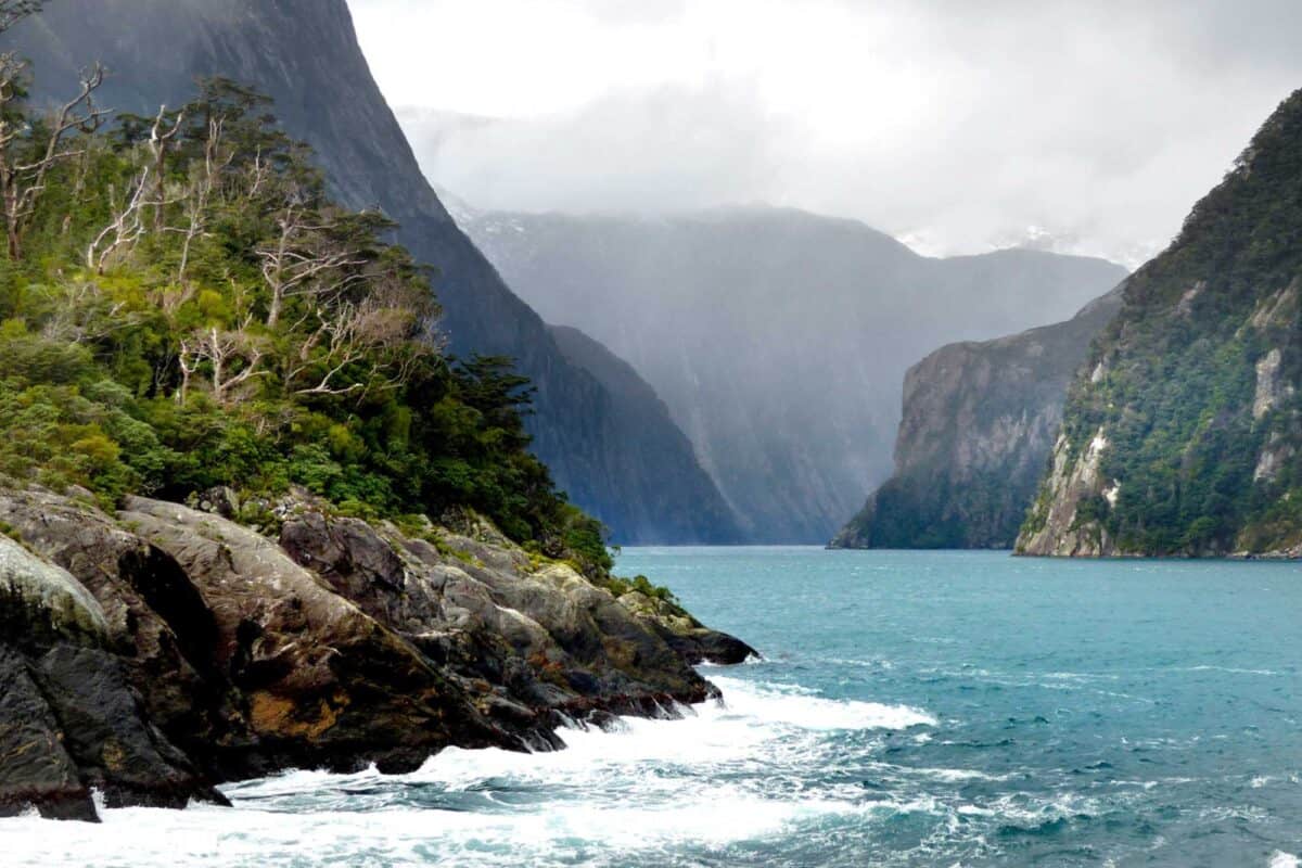
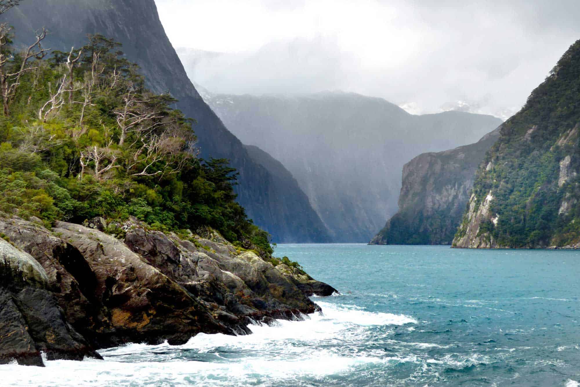
The Dynamic Population Exposure project is developing a nationally-consistent dynamic population model that provides an understanding of the total number of people in a given location at different times of the day, week and year. The work has been tested through long-standing relationships developed through the AF8 [Alpine Fault magnitude 8] programme, with Southland agencies and tourism providers. For example, the Department of Conservation has asked the team to apply dynamic population modelling to support evacuation planning in Milford Sound.
The Capacity retention for physics-based earthquake simulators has developed a prototype multi-hazard digital twin for the Wellington region including modelling of cascading earthquake hazards (strong shaking, landsliding, liquefaction, tsunami and sea level rise). Based on successful tests, the team has reached agreement with the Wellington Regional Emergency Management Office to pilot operational use of the tool, and include new early warning products in future event responses.
The early digital twin prototype has also been successfully applied to the National Tsunami Model (Stage 1). Project co-leader Dr Bill Fry is working with the Global Tsunami Model, Geoscience Australia, USA NOAA and other international collaborators to form a consortium that has applied to the United Nations Economic and Social Commission for Asia and the Pacific to use the digital twin framework for Pacific and Indian Ocean tsunami risk reduction.
As reported in FY24/25, members of our Ngā Herenga o Papatūānuku team have been engaging widely with iwi, councils, agencies and sector groups as they develop their project, which seeks to support tangata whenua adaptation strategies. The project’s final wānanga held over two days in Maketū was attended by around 100 participants from across the country. Through this wānanga, the team has established the foundations for a national tangata whenua climate adaptation network. They are working through ways to formalise this network, potentially with the Aotearoa Society of Adaptation Professionals | Rōpū Urutaunga Aotearoa (ASAP | RUA).
The team has identified the need for resources and information to support iwi and hapū-led adaptation. Final project outputs will include a kete of resources, including case studies of successful adaptation initiatives.
This case study was submitted to the Ministry of Business, Innovation and Employment as part of our 2025-26 annual reporting.
Share:
View more Case Studies
 Case Study
Science to improve resilience practice
09/10/2026
Join our Community
Subscribe to our newsletter to stay up to date with Resilience Platform news and opportunities to get involved.